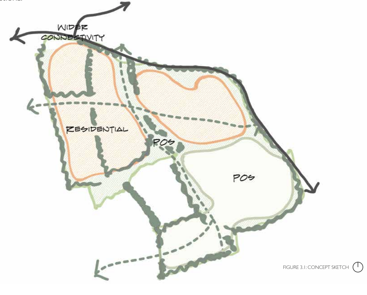
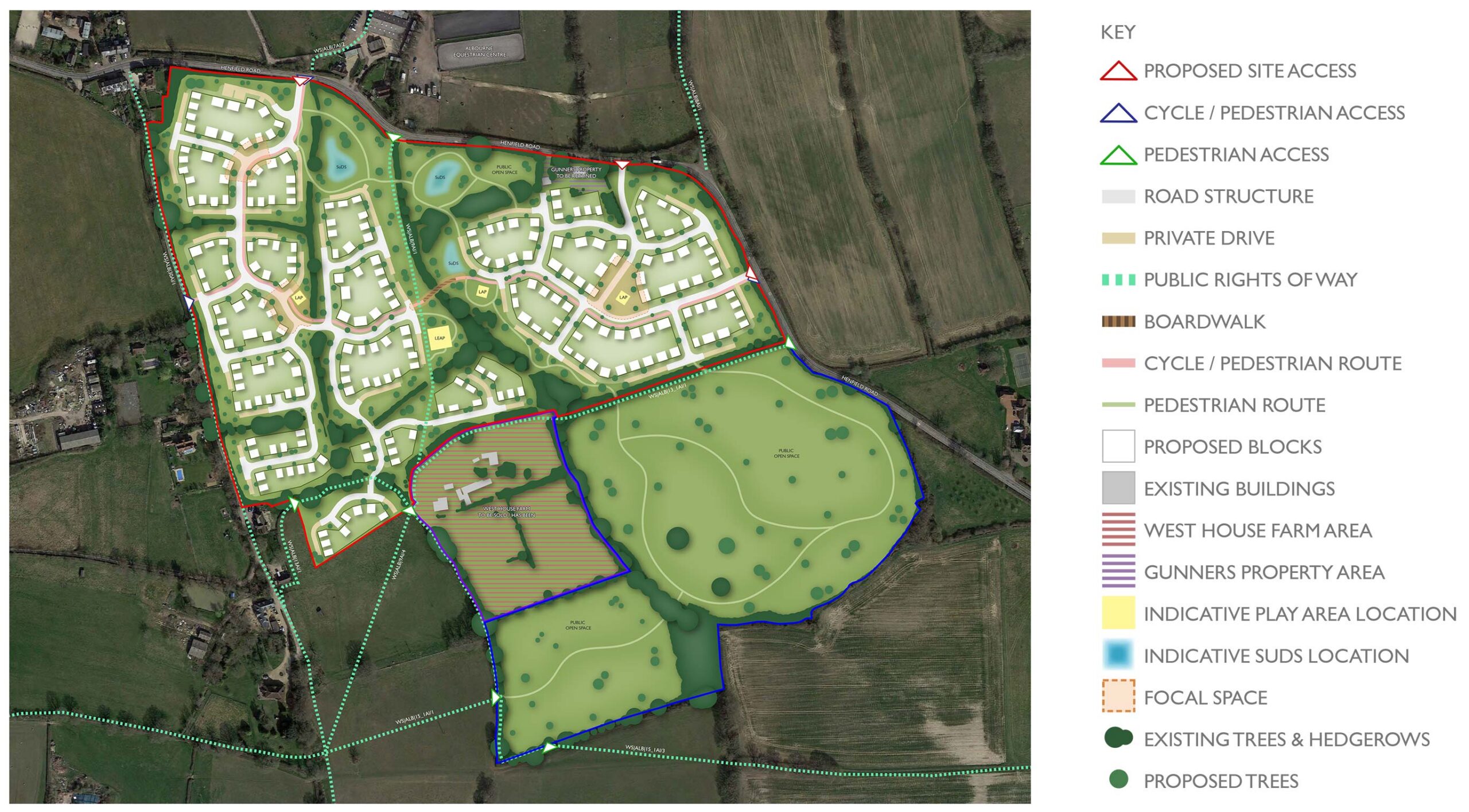
The initial concept focused on the development working with the natural assets of the site and wider connections.
Initial Masterplan
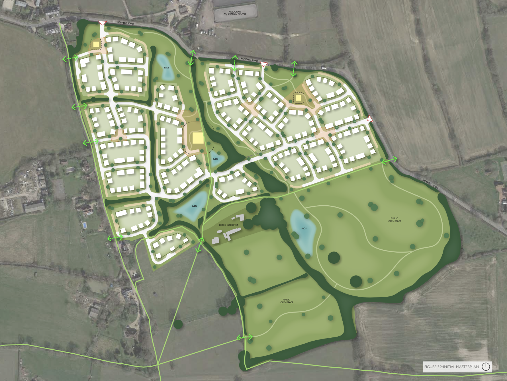
Following the initial constraints and opportunities exercise a blocking plan was created to understand the development form and capacity of the site.
Design choices
Further refined survey work and assessments were ongoing, with a through route via the centre of the site identified as a potential challenge due to overland water flows through the centre of the site.
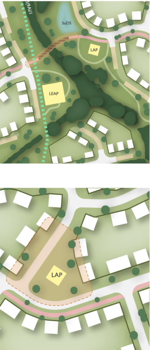
However, connectivity could be achieved through the use of a boardwalk, which would also serve as a cycle route. Work is ongoing to identify a suitable solution.
Surface water constraints have dictated the location of the access point to the north.
Development was required to be further set back following the identification of key arboricultural assets, including a number of Category A trees within the site.
Key features
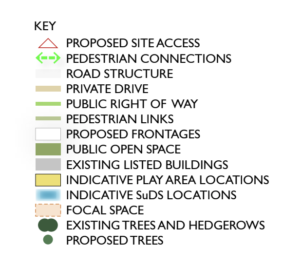
Enhanced Public Rights of Way supported by frontage and landscape design.
Cycle routes will be provided across the site and connected to future cycle infrastructure associated with wider strategic allocation proposals.
Pedestrian paths will offer routes into the open space and connect to the existing movement network.
Play areas will be located throughout the development and positioned along key desire lines.
SuDS features will help manage surface water and provide habitats to enhance ecological value.
Retained vegetation will respect the on-site ecology and be utilised to create a sense of place and a mature setting.
The streetscape will be punctuated with focal spaces to improve legibility.