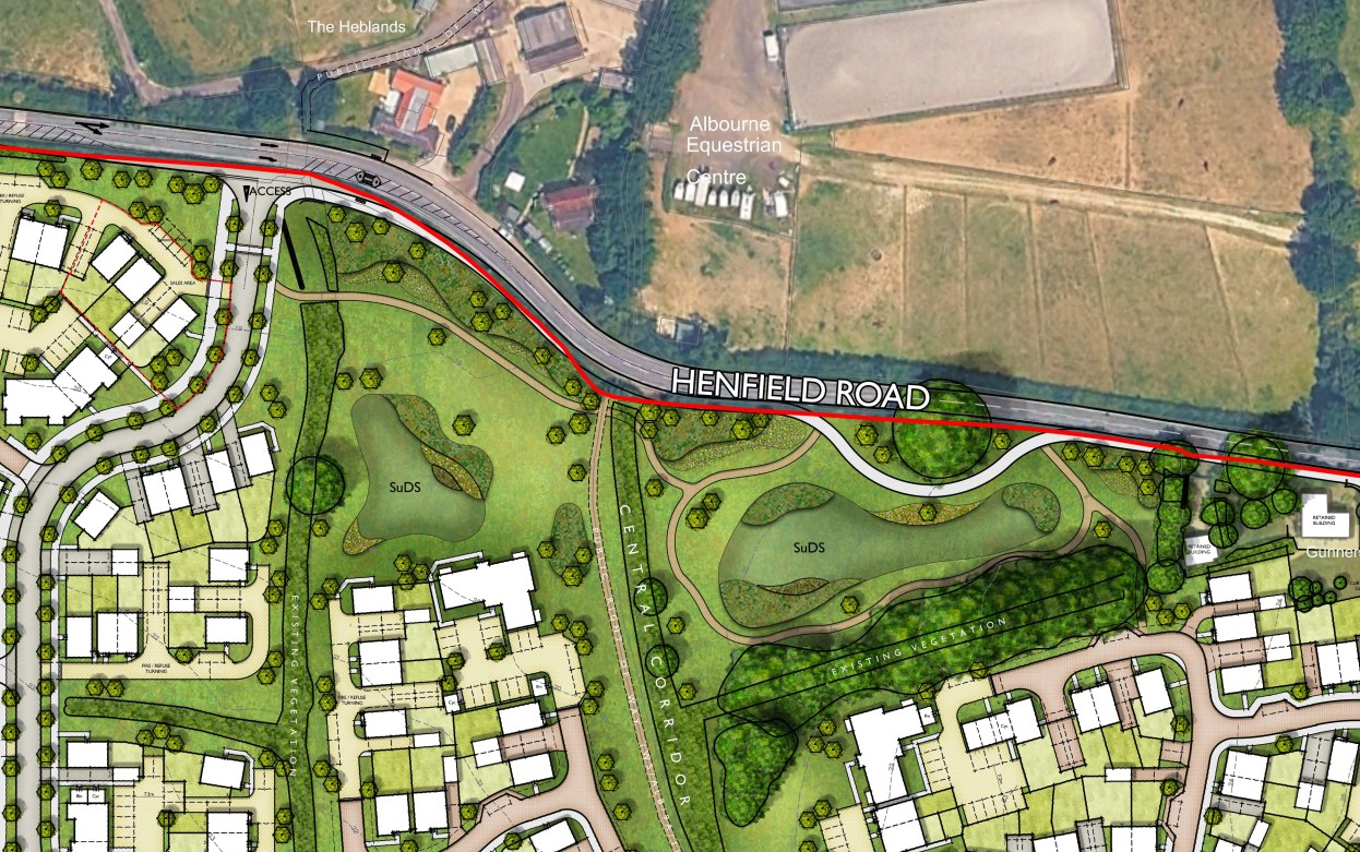
The existing site consists of farmland and the existing levels and drainage regime of the site is that the site levels fall from south to north and towards Henfield Road. Surface water runoff from the site currently drains to a system of ditches, connected to an existing watercourse running through the site, that is culverted below Henfield Road.
The site is located entirely within Flood Zone 1 and the majority of the site is at very low risk of flooding. There is a linear area of surface water flood risk on the site associated with the existing watercourse, and the site layout has been designed with a green corridor so that this flooding is contained within the green space and does not result in an unacceptable flood risk to the development or to dwellings.
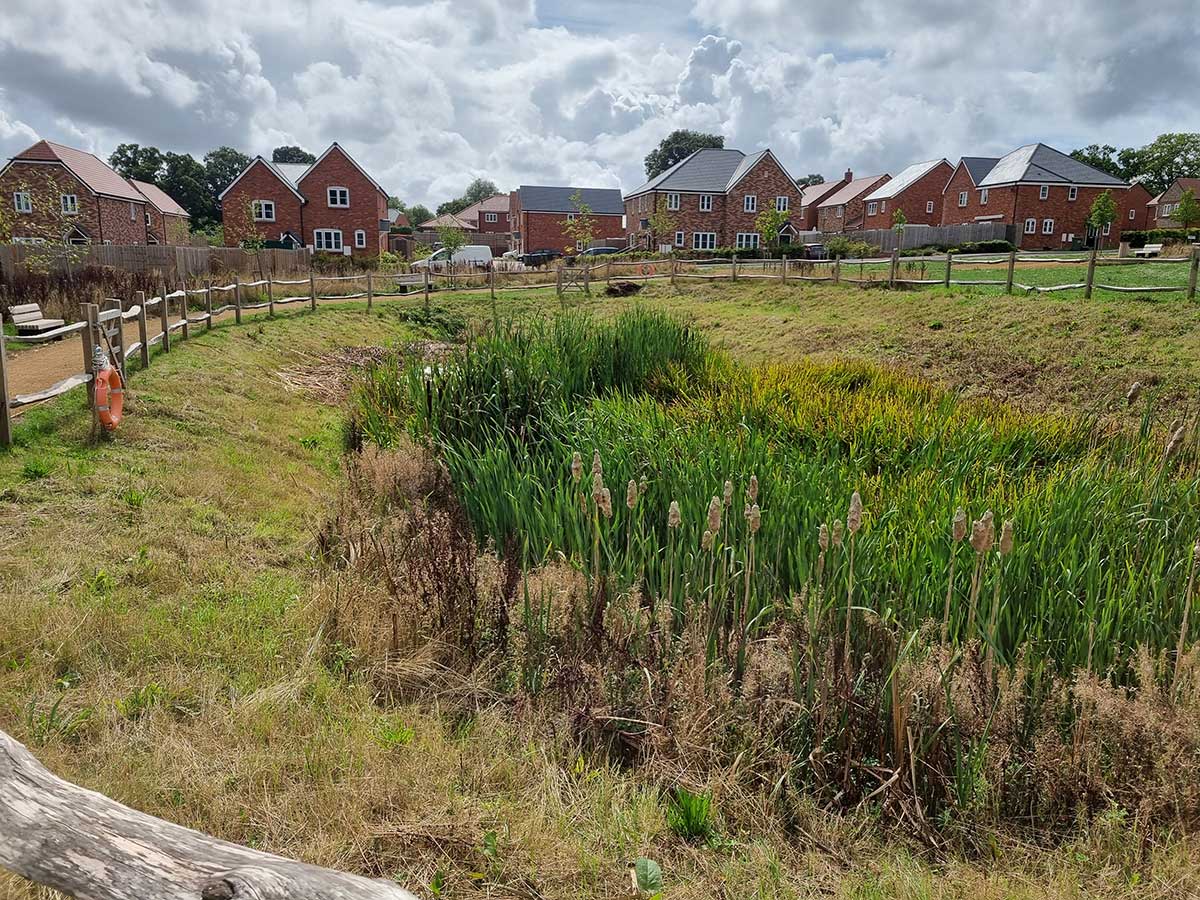
A drainage strategy has been developed that will mimic the existing natural drainage regime and will control surface water runoff from the site to the pre-development greenfield runoff rates. Sustainable drainage systems (SuDS), including attenuation basins and permeable paving, are proposed to provide surface water storage designed to accommodate the 100-year return period rainfall event with an allowance for climate change. The SuDS will also improve water quality and will provide amenity and biodiversity benefits.